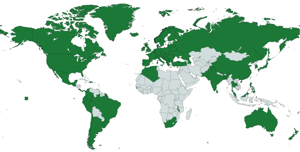
Aeroview’s geospatial datasets are designed to precisely represent physical and administrative features on the Earth’s surface – from civic addresses and property boundaries to land use classifications and postal areas.
If you’re building interactive maps, running spatial analytics, or modelling service territories, our geospatial data products provide a reliable foundation for high-performance geospatial applications.
High-precision X/Y (GPS) coordinates for civic addresses assigned by local municipalities. Ideal for geocoding, routing, and service verification.
Comprehensive postal boundary datasets available in multiple formats, including Shapefile and KML for both Canadian Postal Codes and U.S. ZIP Codes.
Detailed boundary layers at national, provincial/state, municipal, and neighborhood levels — perfect for jurisdictional mapping and regional analysis.
Location data for places of cultural, historical, or regional importance, including schools, landmarks, and public facilities.
Looking for something custom? We’re passionate about GIS and happy to help you source or build the data you need.
The products above represent our core geospatial offerings — from postal code polygons and civic address points to business data and points of interest.
Click any product to learn more, or reach out to our team if you have questions. We’re here to help you find the right solution for your needs.
We’re continually developing new datasets to support evolving client needs and industries.
If you don’t see exactly what you’re looking for, contact us — we may already have it, or can help create a custom solution.

Geospatial products are digital datasets representing locations, boundaries, and features on Earth’s surface – including addresses, postal codes, administrative boundaries, and points of interest. They enable businesses to make data-driven location-based decisions, optimize operations, and gain competitive advantage through spatial intelligence.
Aeroview provides a comprehensive suite including Civic Address Points (rooftop accuracy), Postal Code Polygons, Points of Interest (POI), Administrative Boundaries, and additional specialized geospatial datasets. Each product is designed to support specific business and analytical needs with authoritative, regularly-updated data.
Geospatial products enable businesses to optimize supply chains and logistics routes, identify ideal locations for retail expansion, conduct precise market analysis, streamline resource allocation, improve emergency response capabilities, and make informed decisions based on spatial patterns and location intelligence.
Industries including retail and e-commerce, logistics and supply chain, real estate and property development, government and urban planning, insurance and financial services, utilities and energy, healthcare, construction, telecommunications, and marketing leverage geospatial data for competitive advantage.
Point-based data (like Civic Address Points and POI) represents specific geographic locations with precise coordinates, ideal for geocoding and proximity analysis. Polygon-based data (like Postal Code Polygons and Administrative Boundaries) defines geographic areas and regions, suitable for territory planning and regional analysis.
Aeroview’s data is curated from authoritative government and municipal sources with regular verification. Accuracy varies by product—Civic Address Points provide rooftop-level GPS precision, while administrative boundaries are derived from official government sources with high positional accuracy.
Aeroview offers industry-standard GIS formats including Shapefile, GeoJSON, KML, CSV, and REST services, ensuring compatibility with all major GIS platforms including ArcGIS, QGIS, and web mapping applications.
Update frequencies vary by product—Civic Address Points receive monthly updates, while Postal Code Polygons are refreshed regularly to reflect new assignments and boundary changes. Administrative Boundaries are typically updated annually or semi-annually to reflect governance and administrative changes.
Yes. All Aeroview geospatial products are designed for seamless integration with enterprise GIS systems, business intelligence platforms, data warehouses, and mapping applications using standard formats and WGS84 coordinates.
Businesses use geospatial data to identify target markets, analyze customer demographics and behavior patterns by location, optimize store placement, create geofenced campaigns, and deliver hyper-localized marketing messages based on proximity to locations and foot traffic patterns.
Geospatial products enable route optimization, real-time fleet tracking and management, warehouse location analysis, delivery time prediction, supply chain risk modeling, and last-mile delivery efficiency by providing precise location intelligence across distribution networks.
Aeroview adheres to geospatial data quality standards including positional accuracy validation, attribute completeness checks, topological consistency verification, and regular updates to maintain data integrity. The products are sourced from authoritative government agencies ensuring compliance with national geospatial data standards.
Yes. Aeroview offers flexible licensing solutions supporting commercial applications, enterprise deployment, and integration with business intelligence systems. Licensing options accommodate various use cases from internal analytics to customer-facing location services.
Insights. Updates. Location Intelligence — Delivered.
Join our newsletter or follow us on social media to get the latest on geospatial trends, product updates, and practical use cases. We’re building a community of professionals who care about precision, data quality, and smart location-based solutions.
Subscribe today and stay ahead in the world of mapping and spatial data.
Stay informed about our latest geospatial services and updates. Join our newsletter for insights tailored to your needs.
By clicking Subscribe, you agree to our Terms and Conditions.